Puri
Puri Forest Division has a total forest area of 80.967 sq.km (4.57% of its geographical area), comprising Reserved, Proposed Reserved, and Village Forests. It is bounded by the Bay of Bengal, Devi River, Rajnagar Wildlife Division (east), Chilika Wildlife Division and Khordha Forest Division (west), and City Forest Division (north). The region spans a 150.40 km coastline characterized by flat coastal plains and geological formations such as alluvial deposits, raised beaches, laterites (Pleistocene), and Tertiary beds (Miocene).
Forests primarily consist of planted species like Casuarina, Cashew, Eucalyptus, and Acacia auriculiformis, alongside natural vegetation. The coastline faces cyclones, erosion, and sand dune shifts, exacerbated by climate change. Casuarina plantations help mitigate sea rise impacts, while mangroves near Devi Mouth act as natural barriers, protecting coastal areas from storms and erosion.
The local economy is predominantly dependent on agriculture and fishing, both of which face significant challenges due to erratic rainfall, frequent floods, prolonged droughts, soil and water salinization, and sand casting of coastal farmlands.
District at a Glance:
| Landscape | Total Villages | Total GP | Population | Blocks | ECRICC Interventions |
|---|---|---|---|---|---|
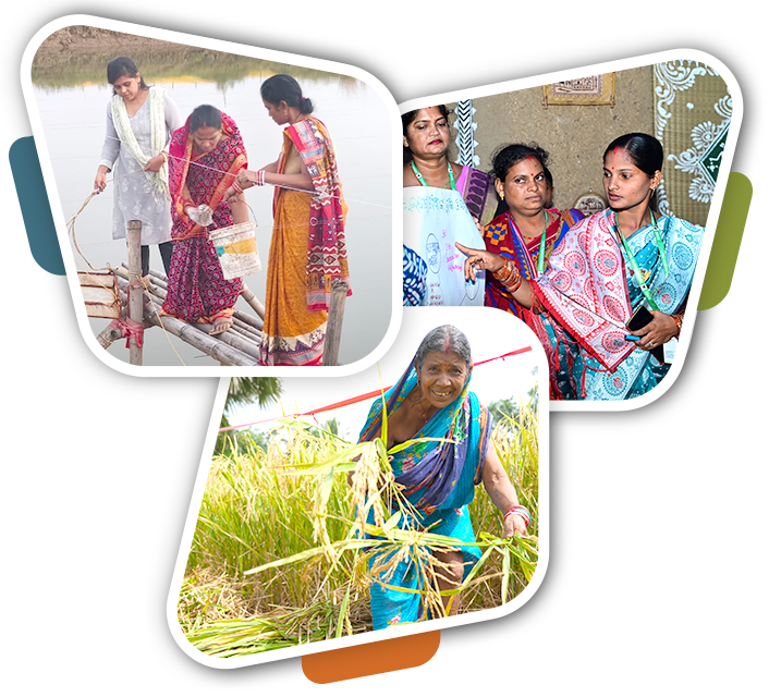
| Devi Mouth Landscape | 137 | 23 | 1,23,898 | Astarang, Kakatpur | System of Rice Intensification, Mus crab farming, Ornamental Fisheries, Mangrove Plantation |
| Chilika (Puri) Landscape | 188 | 36 | 1,54,564 | Krushnaprasad, Brahmagiri | System of Rice Intensification, Mud Crab Farming, Ornamental Fisheries, Seaweed farming. |


