Kendrapara
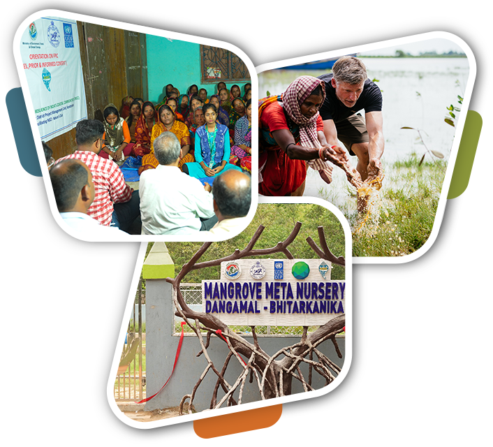
Kendrapara district, situated in Odisha's Central Coastal Plain, encompasses a 48 km coastline along the Bay of Bengal from Dhamra Muhan to Batighar. The region is ecologically significant for housing Bhitarkanika National Park, India’s second largest mangrove ecosystem that serves as both a biodiversity hotspot and natural coastal defense system.
The district faces acute climate vulnerabilities, including frequent high-intensity cyclones (Phailin, Fani, Yaas) that cause widespread damage to coastal communities. Rising sea levels have accelerated shoreline erosion and salinity intrusion, threatening both agricultural productivity and Bhitarkanika’s ecosystem.
With the majority of livelihoods dependent on agriculture and fisheries, this reliance on ecosystems makes the region particularly susceptible to compounding climate impacts.
District at a Glance:
| Landscape | Total Villages | Total GP | Population | Blocks | ECRICC Interventions |
|---|---|---|---|---|---|
| Bhitarkanika Landscape | 290 | 39 | 2,09,193 | Rajnagar, Rajkanika | Mangrove Plantation Ornamental fish unit |
| Mahanadi Mouth Landscape | 112 | 17 | 1,13,168 | Mahakalpada | Mangrove Plantation SRI Crab culture Ornamental fish unit |


