Ganjam
Ganjam district, situated in Odisha's southern coastline, encompasses a 60 km coastline along the Bay of Bengal characterized by low-lying areas, river mouths, and deltaic regions.
The district faces severe climate vulnerabilities, including frequent high-intensity cyclones that trigger storm surges, coastal erosion, and flooding. Rising sea levels accelerate shoreline erosion – severely impacting areas like Ramayapatnam (Bahuda) and Podampeta (Chilika) – alongside erratic rainfall causing drought and salinity intrusion. Rising temperatures further intensify cyclonic risks.
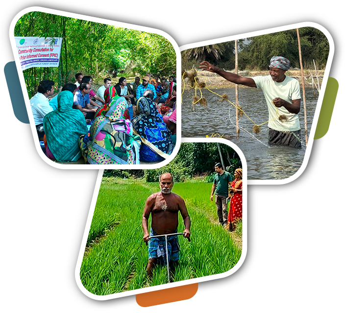
With livelihoods heavily dependent on fisheries and agriculture, this reliance on climate-sensitive sectors compounds vulnerabilities, leading to land loss, displacement, and threats to food security. The ECRICC Project operates in the coastal areas of Rangeilunda, Chikiti, Ganjam, and Khallikot blocks to address resilience.
District at a Glance:
| Landscape | Total Villages | Total GP | Population | Blocks | ECRICC Interventions |
|---|---|---|---|---|---|
| Chilika (Ganjam) Landscape | 110 | 15 | 1,54,564 | Khalikote, Ganjam | Restoration of degraded watersheds, mangrove, SRI, Mud Crab, Ornamental Fisheries, Fish Value Addition, Seaweed cultivation |
| Bahuda Landscape | 81 | 25 | 1,07,894 | Chikiti, Rangeilunda | Restoration of degraded mangrove, SRI, Mud Crab, Ornamental Fisheries, Fish Value Addition, Seaweed cultivation |


