Balasore
Balasore district in northern Odisha spans 3,800 sq km along the Bay of Bengal, featuring low-lying coastal plains, sandy beaches, and the fertile deltas of Subarnarekha and Budhabalanga rivers. This geography makes it highly vulnerable to climate impacts.
The district faces frequent cyclones like Phailin (2013), Fani (2019), and Yaas (2021), which cause widespread damage to infrastructure and livelihoods. Coastal erosion, exacerbated by rising sea levels and human activities, threatens blocks like Bhograi and Baliapal.
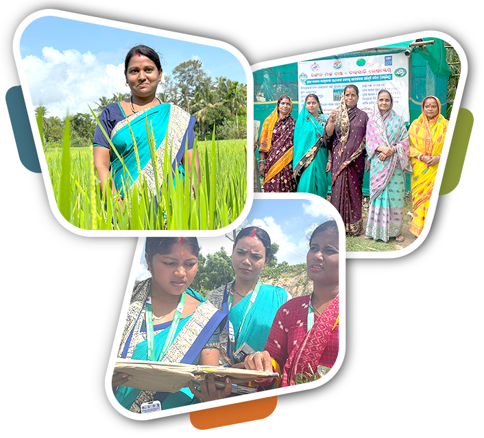
The dense population depends heavily on climate-sensitive agriculture and fishing, which are threatened due to recurrent flooding in riverine and coastal areas.
District at a Glance:
| Landscape | Total Villages | Total GP | Population | Blocks | ECRICC Interventions |
|---|---|---|---|---|---|
| Talsari Landscape | 50 | 15 | 1,16,763 | Bhograi, Baliapal | System of Rice Intensification, Mud crab farming, Ornamental Fisheries, Mangrove Plantation, Fishbone Channel, Creek Deepening |


